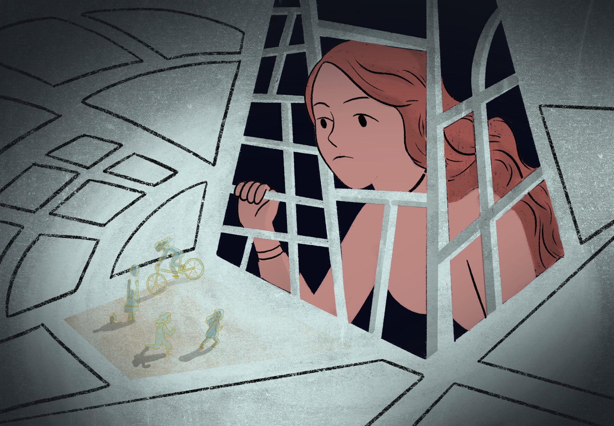
What if the city you walk through every day was a minefield—not of bombs, but of glances, of hands brushing too close, of streets that shrink in the dark? What if the map you relied on to navigate your own neighborhood was missing the most critical landmarks: the alleys where the streetlights flicker out, the metro cars where the crowd presses in just a little too tight, the parks where the shadows stretch longer than the benches? In Cairo, a woman named Yasmin decided to redraw the city’s map—not with roads and bridges, but with fear and fury. And the city listened.
The Cartographer of Dread: How One Woman Turned Fear into Data
Yasmin wasn’t a surveyor. She wasn’t an urban planner. She was a graphic designer with a knack for turning chaos into clarity—and a personal history of navigating Cairo’s streets as a woman alone. Every catcall, every leering stare, every time she crossed to the other side of the road to avoid a group of men, she filed it away. Not as a memory, but as a data point. What started as a private ledger of indignities soon became a crowdsourced atlas of unease.
She built a platform—“SafeStep Cairo”—where women could drop pins on a digital map, tagging locations with whispers of their experiences: “Unlit sidewalk near Ramses Station—felt unsafe after 8 PM,” or “Bus 99, route from Dokki to Tahrir—man followed me to the exit.” The app didn’t just collect complaints; it visualized them. Suddenly, the city’s invisible barriers weren’t just felt—they were seen. And seeing them was the first step toward changing them.
From Pixels to Policy: When Maps Become Weapons of Change
The power of Yasmin’s map wasn’t just in its data—it was in its audacity. For decades, Cairo’s planners had treated women’s safety as an afterthought, if they considered it at all. Sidewalks were too narrow. Streetlights were too few. Public transport was a gauntlet. But when the city’s women literally put their fears on the map, the abstraction of “urban design” collided with the raw reality of lived experience. The map didn’t just show where women felt unsafe—it proved that Cairo’s infrastructure was failing them.
Within months, the city’s transportation authority announced a pilot program to install brighter lights along the routes most frequently flagged as dangerous. The metro company rerouted one of its least-patrolled lines during off-peak hours. Even the police, long criticized for dismissing harassment complaints, began using the data to deploy patrols in hotspots. It was a rare moment where evidence triumphed over excuses. The city didn’t just listen—it obeyed.
The Backlash: When the City’s Shadows Fight Back
Of course, not everyone was pleased. Some men—accustomed to the city’s unspoken rules of engagement—bristled at the idea that their behavior was being scrutinized. Online forums erupted with accusations that Yasmin’s map was “exaggerating” the problem, that women were “overreacting” to “normal” street interactions. One commenter, hiding behind a pseudonym, sneered: “If they don’t like it, they can stay home.” As if the city belonged to them—and them alone.
But the backlash wasn’t just verbal. In some neighborhoods, women reported that men began monitoring the map, trying to game the system—standing in groups near flagged areas to intimidate users, or even submitting fake reports to discredit the data. It was a reminder that maps, like cities, are never neutral. They are contested terrain. The same streets that women marked as unsafe were, for some men, spaces of entitlement. And entitlement, once challenged, fights back.
The Ripple Effect: Can Cairo’s Revolution Spread Beyond Its Borders?
Yasmin’s experiment didn’t stay in Cairo. Within a year, similar platforms emerged in Beirut, Amman, and Tunis. Women in Istanbul began mapping harassment hotspots along the Bosphorus. In Delhi, activists adapted the model to track unsafe bus stops. The idea was simple: if a city’s infrastructure reflects its power structures, then changing the infrastructure means changing the power. And power, as we know, resists change.
But the challenge is daunting. In many cities, the response to these maps has been performative—more police presence in the short term, but no structural reforms. In others, the data has been ignored entirely. The question, then, is this: Can a map—no matter how meticulously crafted—compel a city to confront its own complicity in violence? Or will it remain, at best, a temporary salve, a way to navigate the cracks in the pavement while the pavement itself stays broken?
The Unfinished Map: What Comes Next for Cairo’s Women?
Yasmin’s work is far from done. The next phase of SafeStep Cairo involves pushing for permanent changes: wider sidewalks, gender-segregated metro cars during peak hours, and a city-wide audit of lighting. But the real test will be whether Cairo’s women—especially those from marginalized communities—can keep using the map without fear of retaliation. Will the city’s poorest women, who rely on informal transport and unlit alleys, feel safe enough to contribute their stories? Or will the map, like so many tools of empowerment, become a privilege of those who can afford to speak up?
The final irony? The most dangerous places in Cairo aren’t just the ones marked on the map. They’re the ones where women stay silent. Where they convince themselves that the fear is just “part of the city.” Where they accept that the map is theirs to navigate, but never to redraw. Yasmin’s revolution is a start. But the city’s true test will be whether it can handle the weight of all the stories it’s been ignoring for so long.


Leave a Comment